
Terrebonne Clerk of Court Office closed Sept. 11-12 due to Tropical Storm Francine
September 10, 2024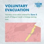
TPCG issues a voluntary evacuation for Zone 2
September 10, 2024
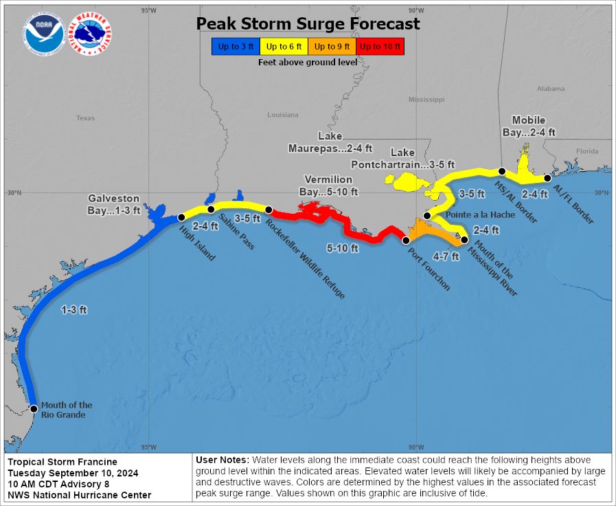
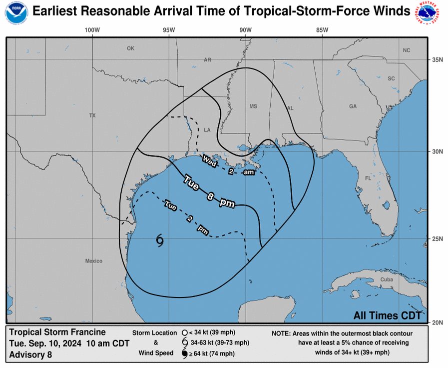
With this update, Francine is expected to shift away from the northeastern coast of Mexico and southern Texas later today, travel across the northwestern Gulf of Mexico tonight, and reach landfall in Louisiana by Wednesday.
At 1:00 PM CDT (1800 UTC), the center of Tropical Storm Francine was located near latitude 25.3 North, longitude 95.2 West. Francine is moving toward the northeast near 9 mph (14 km/h). A continued northeastward motion and a faster forward speed are expected later this afternoon and tonight. On the forecast track, Francine is anticipated to move away from the coast of northeastern Mexico and south Texas this afternoon, move across the northwestern Gulf of Mexico tonight, and then make landfall in Louisiana on Wednesday. After landfall the center is expected to move into Mississippi on Wednesday night or Thursday.
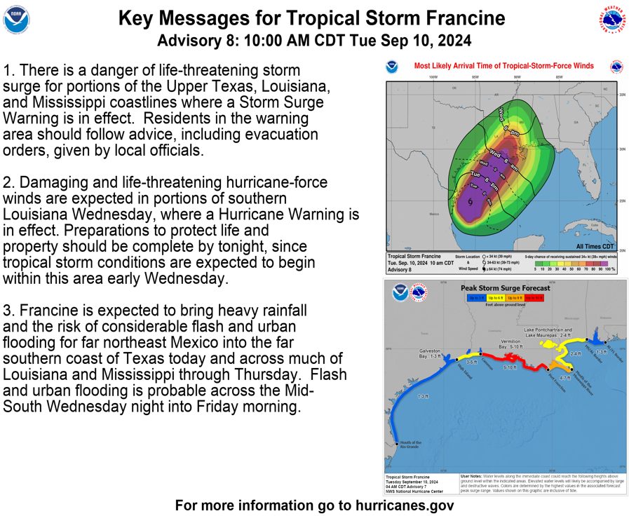
Maximum sustained winds are near 65 mph (100 km/h) with higher gusts. Strengthening is expected through Wednesday morning, and Francine will likely become a hurricane later today or tonight. Francine is expected to weaken quickly after landfall. Tropical-storm-force winds extend outward up to 140 miles (220 km) from the center.
The minimum central pressure reported by an Air Force Reserve Hurricane Hunter aircraft is 988 mb (29.18 inches).
Next complete advisory at 4:00 PM CDT.

