
Lafourche and Terrebonne Parish Governments urge citizens to secure debris, check drains for blockages ahead of storm
September 9, 2024
TPCG has issued an emergency declaration
September 9, 2024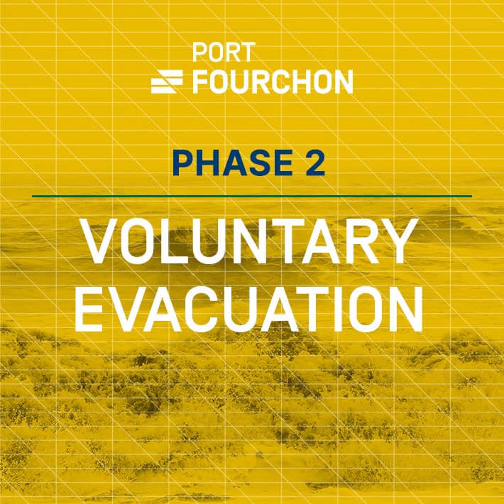
Port Fourchon is moving to Storm Phase 2, which is Voluntary Evacuation. This means that tropical force winds are expected to be in Port Fourchon within 72 hours.
The Port Commission is keeping an eye on the development of Tropical Storm Francine, which is forecast to make landfall midweek along the coast of Louisiana. The path and impacts of Francine remain uncertain, but the potential for serious weather affecting our area is increasing rapidly. Tropical storm-force winds along with heavy rain and elevated tide levels could impact our area from late Tuesday evening to late Thursday afternoon. We ask that port tenants and users be alert for updates and prepared for things to change or progress quickly.
Please begin securing or moving equipment out of port and determine the intentions and/or special needs of all vessels and personnel at your facilities in the port.
Please review your facility’s hurricane plan, be thoughtful of stockpiling any loose material or excess items that could fly away or be damaged if Port Fourchon is affected by a storm, and make sure the Port Commission has your facility’s updated contact information so that you can receive timely storm-related information.
POSSIBLE IMPACTS IN THE PORT FOURCHON AREA:
- There is considerable uncertainty in the forecast. Impacts may vary widely depending upon eventual track, strength, size, and speed of movement. Moderate confidence on track and intensity.
- RAINFALL: widespread rainfall totals of 4-8″ are forecast with locally higher amounts, between 7a Tuesday and 7p Friday. Most of this rain will fall between 7a Wednesday and midday Thursday.
- TIDES/STORM SURGE: Minor to moderate coastal flooding will be possible. Some low-lying roads, lots and access routes could be flooded during the time of high tide, with the greatest impacts Wed and Thurs mornings
- WINDS: Gusty to damaging winds will be possible mainly on Wednesday and Wednesday night, with the strength of these winds highly dependent on the eventual track and intensity of the storm.
- ROADWAYS: No anticipated closures today but be alert. Coastal flooding is a concern as always on Hwy. 1 between Leon Theriot Flood Gates in Golden Meadow and Elevated Hwy 1 in Leeville.
WARNINGS, WATCHES, & ADVISORIES (Updated today @ 10:28 AM):
- Hurricane Watch in effect for southern Lafourche Parish.
- Storm Surge Watch in effect for southern Lafourche Parish.

